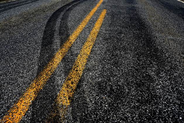
Transport for NSW is hoping that aggregated data collected by TomTom and LiDAR systems might provide it with more timely insight into conditions and hazards on the state’s road network.
The agency, in collaboration with iMOVE Cooperative Research Centre (CRC), currently relies on videos taken by crews for safety assessments, from which certain road attributes are extracted.
However, TfNSW wants to speed up the process, and has embarked on a project that will “convert raw data… into an international standard five-star ratings system”.
The project will deliver 20,000 km of road attributes in NSW using TomTom’s MN-R map data, as well as prove feature extraction techniques and machine learning for LiDAR data.
MN-R is the model that TomTom uses to keep its mapping data up-to-date. It combines several layers of data collection techniques, including from use of its navigation systems and from sensors.
In addition to understanding road conditions and hazards, TfNSW hopes the project could also lead to the development of predictive algorithms around injuries and fatalities in the future.
The project will feed into a global ‘AiRAP’ initiative from non-profit roads ratings agency, the International Road Assessment Programme (iRAP).
TfNSW is also working with the University of Technology Sydney and geospatial data experts Anditi on the project.
Anditi has previously partnered with TomTom to extract more than 50 road asset and safety features such as road markings, safety barriers and trees from LiDAR data.
IRAP global innovation manager Monica Olyslagers, who is overseeing the project, said AI had the “potential to reduce costs and increase the frequency and accuracy of data”.
“Making faster and more affordable data collection possible means that safety assessments can be done on an annual basis across the whole road network,” she said.
The project comes at a time when the federal government is planning to tie infrastructure funding to “measurable improvements in safety”, according to the draft national road safety strategy 2021-30.
Canberra has previously set targets for 90 percent of national highways and 80 percent of state highways to meet a three-star or better safety standard.
“Raising the standards of the world’s roads to a three-star or better standard for all road users will help to focus policy and investment,” Olyslagers added.
“With crash costs typically halving with each incremental improvement in star rating the potential for 3-start or better roads to save lives is significant.”
More than 1100 people are killed on Australian roads each year, while around 40,000 are seriously injured.
iMOVE CRC managing director Ian Christensen said “using technologies such as AI to enhance our suite of safety policy tools is a great step forward”.
“These powerful and insightful tools can inform sound investment by government that saves lives and unlock significant benefits… through reduce road trauma,” he said.
The project is the second such project in recent years where TfNSW has sought to use AI and ML for road safety improvements.
In 2019, TfNSW built a proof-of-concept using ML technology from Microsoft to identify potentially dangerous traffic intersections and fast-track remediation